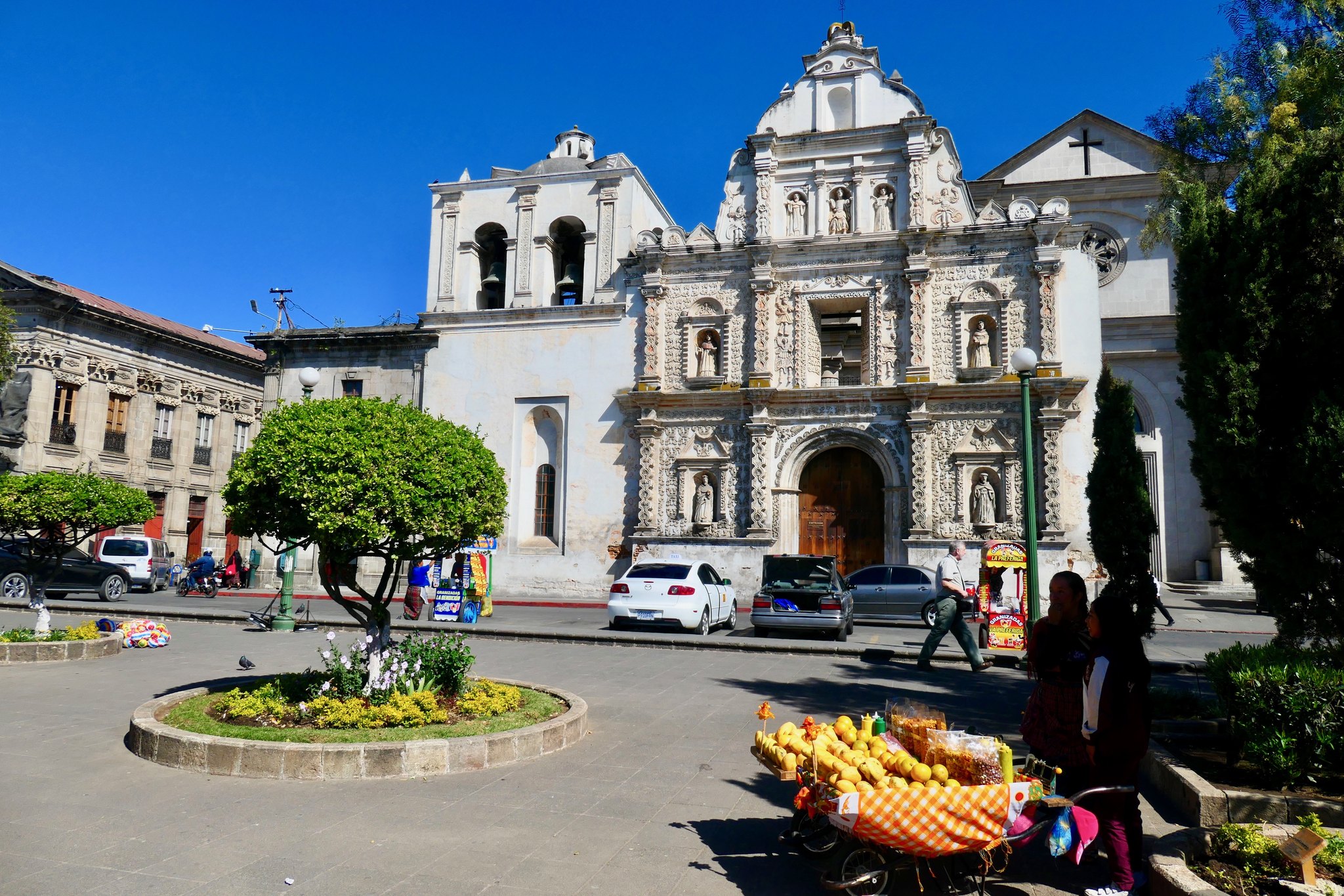
Quetzaltenango
Quetzaltenango (Xela), Guatemala's second-largest city, is a gateway to the Western Highlands.
Overview
Rich in Maya and colonial history, Xela offers Spanish schools, local markets, and volcanic landscapes. Transportation relies on buses and minivans, with various accommodation options.
Cost of living
Numbeo publishes these source indexes relative to New York City.
RentPotentially much less expensiveSource category: Rent | 2026
GroceriesPotentially much less expensiveSource category: Grocery | 2026
RestaurantPotentially much less expensiveSource category: Restaurant | 2026
Visit before you move
TourRadar results matched by destination name.
Start planning your move
Choose a scenario to get started: